Transportation
 focused solutions for solid infrastructure
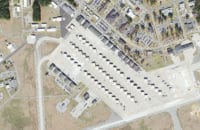
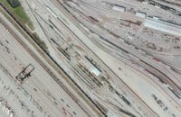
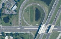
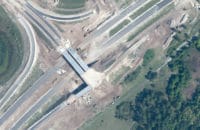
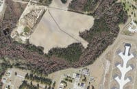
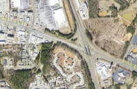
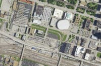
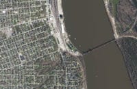
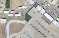
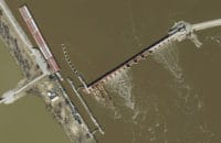
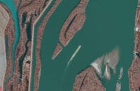
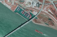
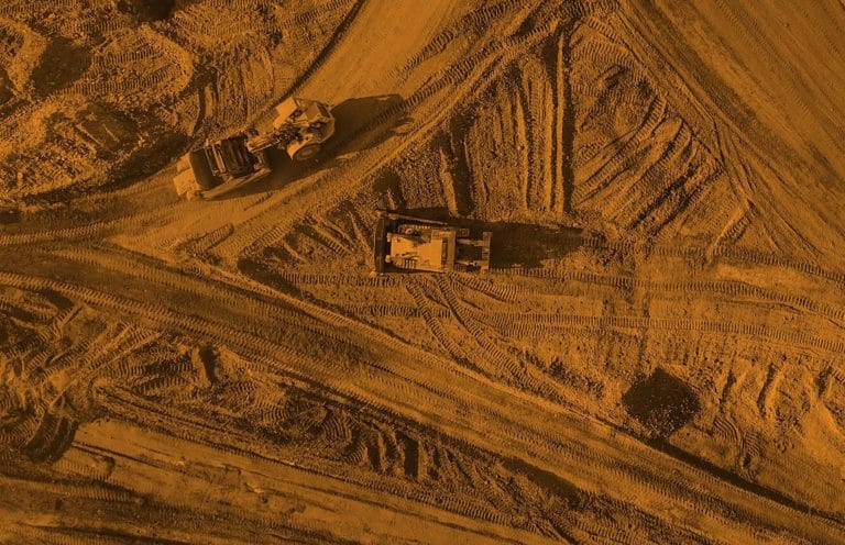
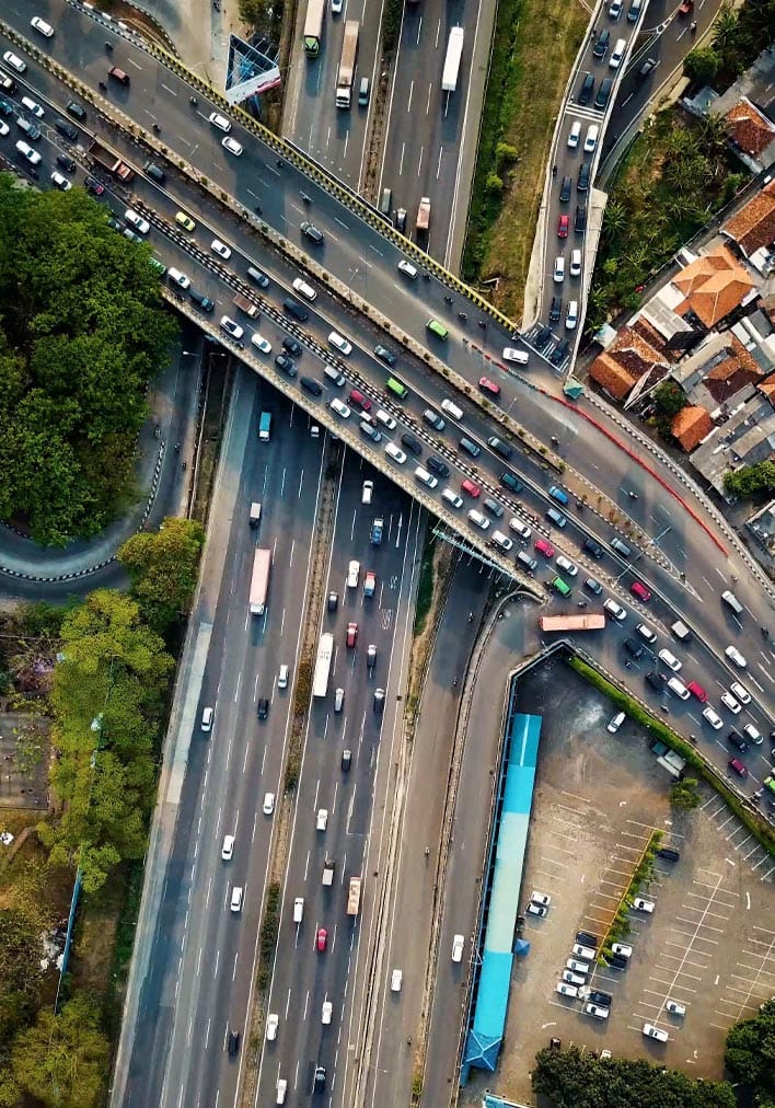
Digital mapping provides roadway engineers with data used to design, plan and build infrastructure including excavation, grading, bridge building, paving or railroad planning.
When integrated into a Geographic Information System, digital orthoimagery, lidar data and digital mapping help planners not only plan roadways but monitor and manage them as well. At the inception of each new project, Surdex converses with clients to determine their specific needs, then helps them develop the best solutions to achieving their larger goals.
Download and read more about our DOT projects.
Download and read about our I-55 DOT project.
Transportation Examples
