Engineering & Construction
 Mapping Out the Future
For over 65 years, Surdex has supplied engineering and architectural firms with the data and imagery they require for future construction and development projects. With our aerial acquisition, lidar data, digital orthoimagery, planimetric mapping, and topographic mapping services, we perform photogrammetric engineering projects for some of the most notable engineering and construction projects in the nation. Our project data allows those companies to analyze workflow, asset inventory and real-world visualization to complete complex tasks efficiently.
Map Filters
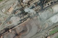
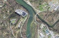
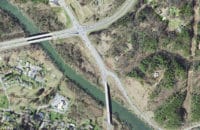
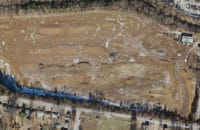
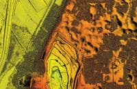
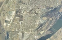
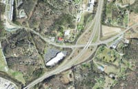
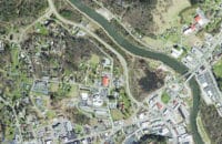
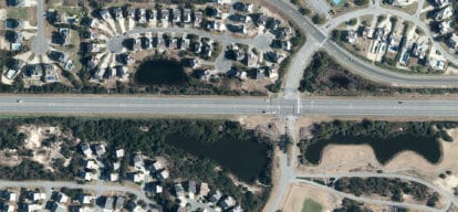
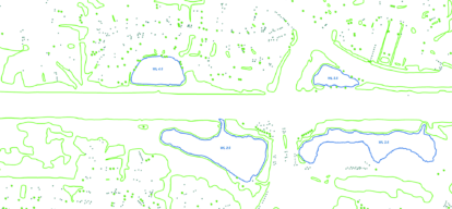
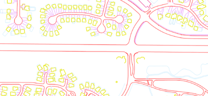
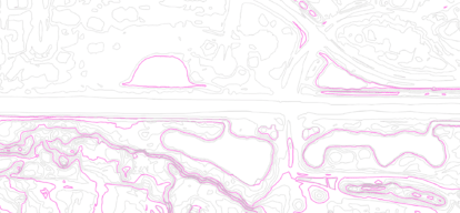
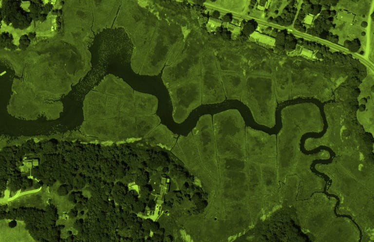
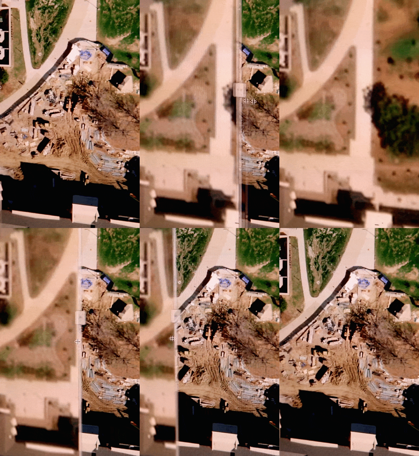
Examine imagery from actual projects – color, black and white, and color infrared digital orthoimagery, lidar data, and topographic and planimetric mapping.
Examples and Solutions
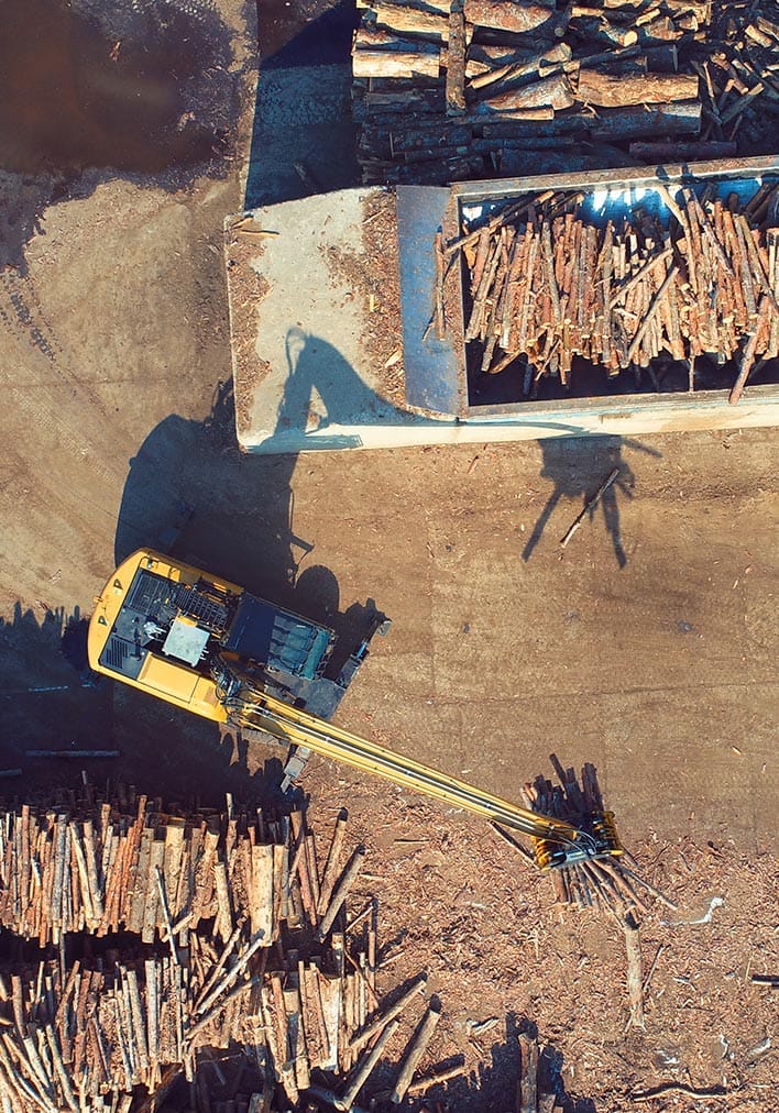
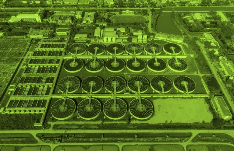
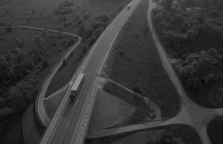
Contractors use our products to develop facilities and manage infrastructure for landfills, water and wastewater systems, roadways, airports, railroads (transportation projects), pipelines, and utility lines (energy/utility projects).
- Infrastructure mapping
- Volumetric inventory (quarries, mines)
- Topographic mapping
- Urban/suburban planning
- Wastewater management
Engineering & Construction Examples
