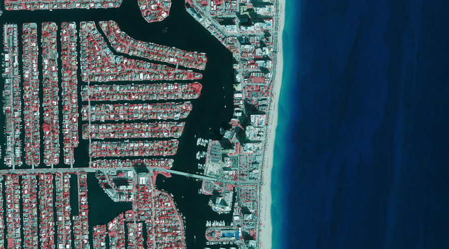
Coastal Mapping
Across roughly two decades of experience with coastal mapping, Surdex has learned several useful strategies for acquiring and processing imagery of coastal areas. We are particularly familiar with coastal Florida and Texas as we have completed several projects along the coasts in each state, many of which have been repeat clients. Acquisition is performed early in the day to avoid afternoon “popcorn clouds,” which are common in coastal areas. Haze and solar reflectance are addressed by technicians in the image processing phase of production through color correction and mosaicking, respectively. We take special care to address unique issues in coastal mapping so that the true beauty of the coasts really shows.
Color infrared imagery of Broward County, Florida (2017)
