Disaster Mapping
Rapid Response Disaster Mapping
“The models show most areas around the world will experience more intense precipitation for a given storm during this century.”
– Gerald Meehl, Lead Researcher, National Center for Atmospheric Research (NCAR)
In recent years there has been a marked increase in the number, frequency and severity of weather-related disasters. Hurricanes, flooding, tornadoes and forest fires have caused civil authorities to grapple with the aftermath and reconstruction following such events:
- Large number of people displaced, injured or killed
- Billions in property damage
- Severe health dangers due to disrupted water and sanitation systems
- Clearing and restoration of roadways, infrastructure and basic services
- Evaluation of over-stressed levy and water management systems
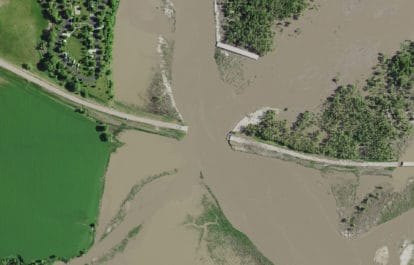
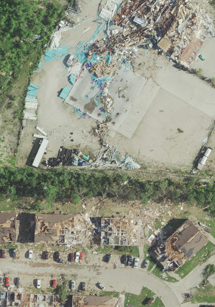
The key to such management issues is quick data, which gives authorities and first responders accurate and detailed information on the damage, enabling immediate decision-making. Aerial imagery and elevation data can help authorities:
- See in almost real time the extent and severity of damage
- Identify rescue needs and determine best avenues of response
- Make preliminary damage and cost assessments
- Plan repair and reconstruction efforts
- Analyze data to mitigate and reduce future occurrences
The following is a list of recent disaster mapping projects:
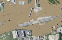
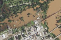
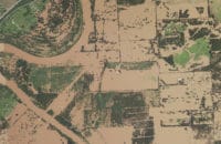
- Meramec River Flooding, 620 sq. mi
- H-GAC Houston Flooding, 10,322 sq. mi.
- USACE Flooding, 5 projects, 11,970 sq. mi.
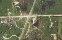
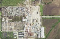
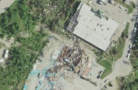
- Jefferson City Tornado, 56sq. mi.
- Kansas Tornado, 113 sq. miles
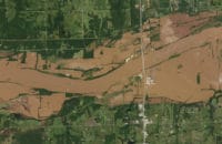
- USGS & FEMA, Nebraska flooding, 3,675 sq. mi. of ortho, 3,084 sq. mi. of lidar
View online imagery of the May 2025 St. Louis tornado:
Tornado damage of the May 2025 St. Louis tornado
Download articles about our disaster mapping projects:
-
-
- GSA Disaster Mapping
- Meramec Flooding Article
- Kansas Tornado
- Iowa DOT Flooding
- JV USGS Missouri-Platte Rivers Flooding
- Invasive Carp Project
- South West Florida Water Management District
- Hurricane Harvey HGAC Early Access
- USACE St. Louis — Emergency Flooding
- Jefferson City Tornado
- Pine Beetle Infestation
-
Process Details
Rapid Response Disaster Mapping
In anticipation of the need for governments to respond as quickly as possible to natural disasters, Surdex has developed a rapid response protocol that expedites data acquisition and processing, providing data during that critical initial period – often within a day or two of acquisition.
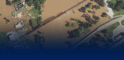
Digital Orthoimagery
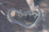
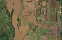
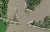
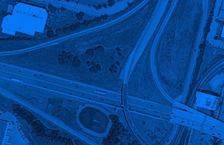
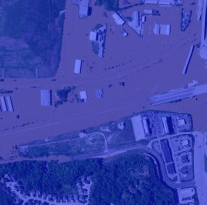
The preliminary imagery from projects can help with recovery and response, including floodwater and roadway management. Once the imagery is processed further, it can be used for damage assessment, rehabilitation, debris management, roadway maintenance and repair, and planning for potential future disasters.
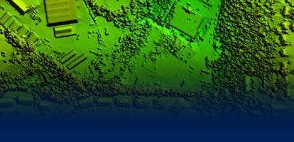
LiDAR
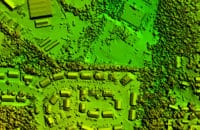
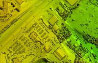
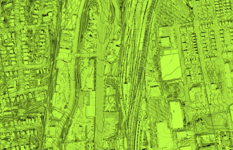
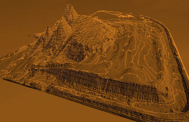
LiDAR data provides an alternate view of the physical impact from weather events. For example, it can be used to evaluate levee damage to assist in restoration and repair, or to conduct roof damage assessment.
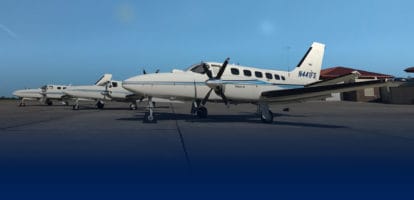
Acquisition
Our fleet of ten aircraft and large-format digital sensors gives us the bandwidth to quickly respond to emergencies, being over the project area, even making multiple lifts during the rain to capture windows of clear visibility.
Imagery Samples
